
LIDAR TERRAIN
High detail Lidar 3D prints
Your hunting block, catchment or farm printed from real elevation data — every spur, face and creek exactly where it sits on the ground.
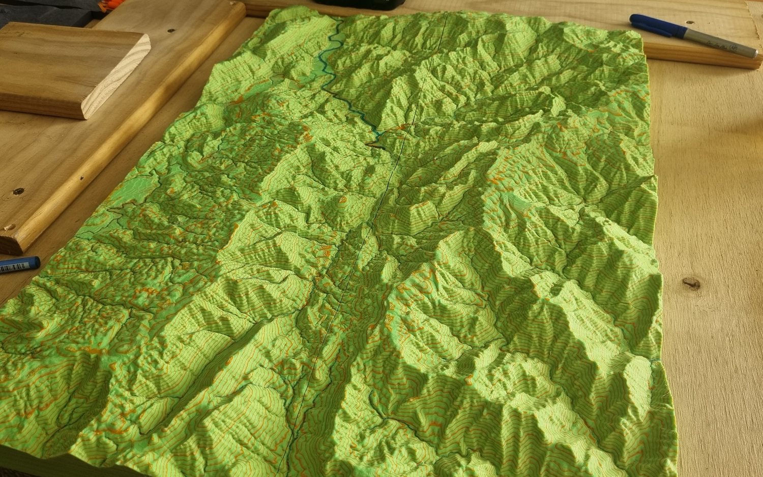
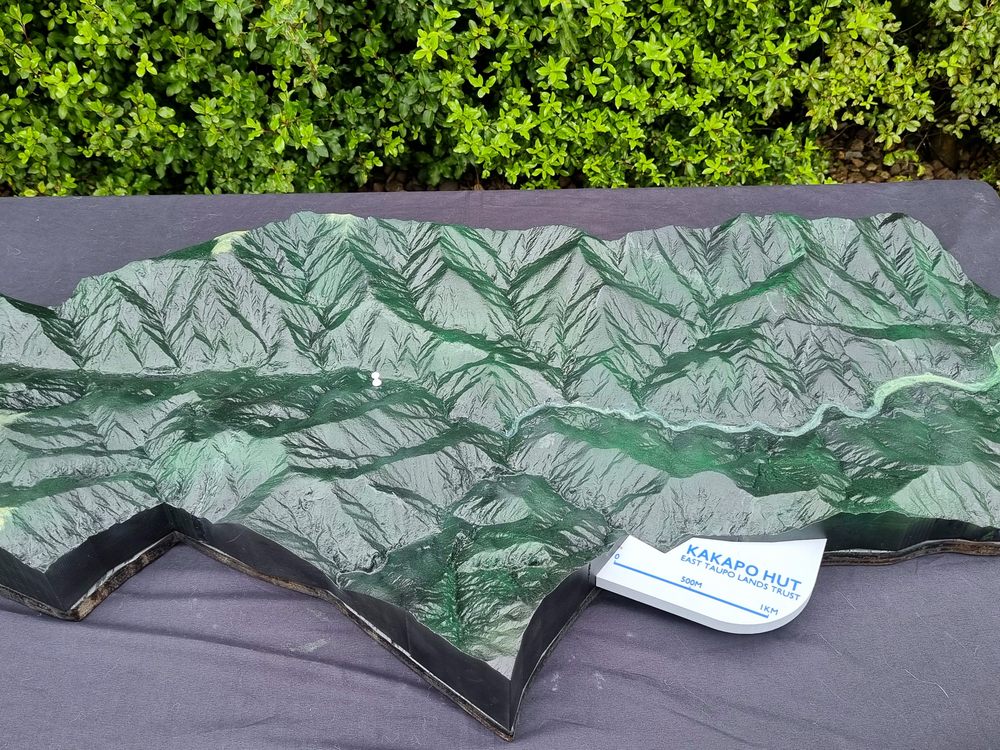 Coffee-table size, hand painted
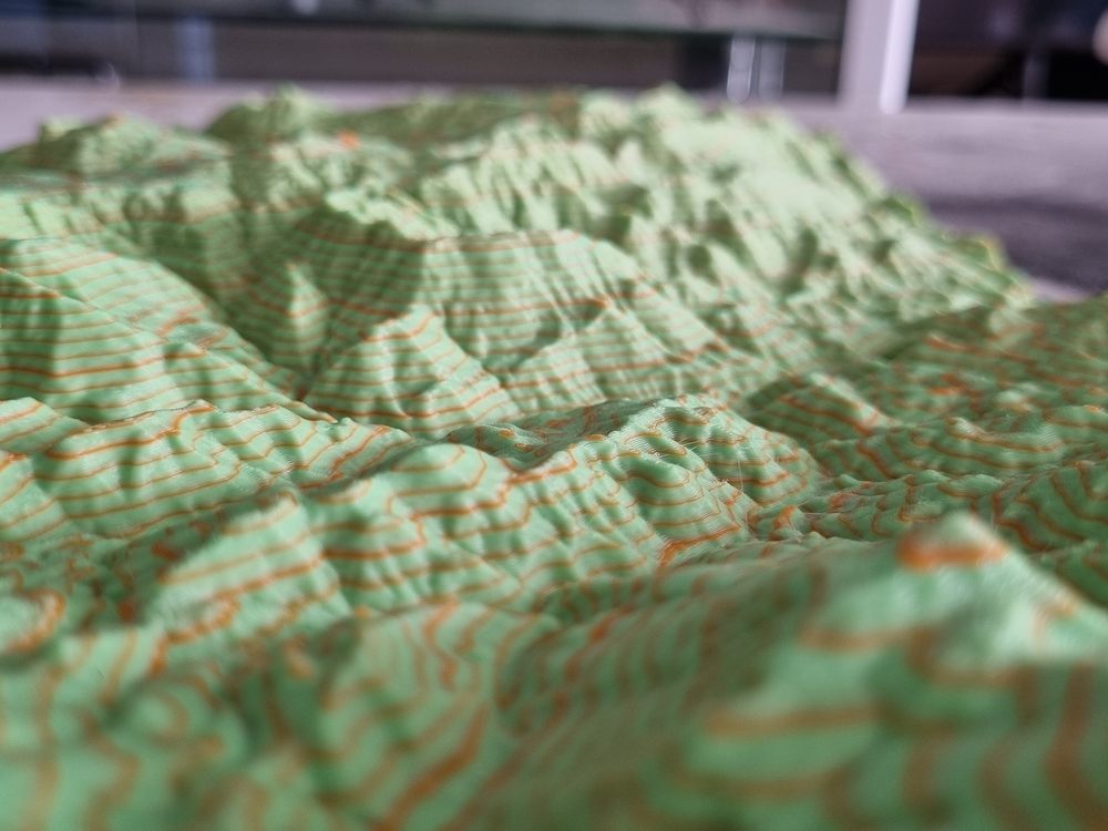 Contour lines picked out in colour
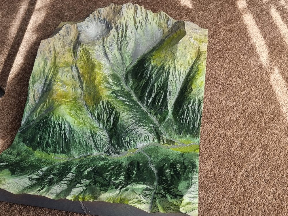 Bush, slips and tussock, painted by hand
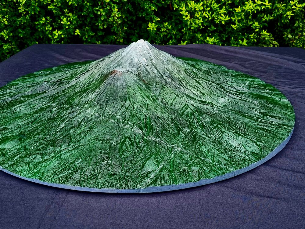 Mount Taranaki, circular base
HOW THEY'RE MADE
01
Pick your block
A pin on the map, a property boundary or a catchment name is enough to start.
02
Real elevation data
Built from Lidar survey data, so the landform is accurate rather than an artist’s impression.
03
Choose the finish
Single colour, two-tone with contour lines, or hand-finished to match the bush and tussock.
04
Any size
From a desk piece up to a coffee-table model spanning two catchments.
WANT YOUR BLOCK ON THE TABLE?
Send me the area and I’ll quote it.